The second dataset (State-Year) I am creating will have the annual GDP and population information by state. which I define as a polity, controlled by a single leader or group, that has primary access to the military and fiscal resources of a geographical area.
This will involve tracking control of geography. For each country defined by Maddison/HYDE data, I am defining a number of “cities”, which will be assigned a proportion of the “country”. This will allow me to add up the information by “state”.
The information for State-Year comes from a number of sources. The Wikipedia provides the most information often having information that is missed by map-based sources. Note that non-English Wikipedias have information not in the English Wikipedia.
The Centennia Historical Atlas https://historicalatlas.com/, provides detailed coverage of Europe, North Africa and Southwest Asia from 1000 CE to 2003 CE. Here is 1500 AD
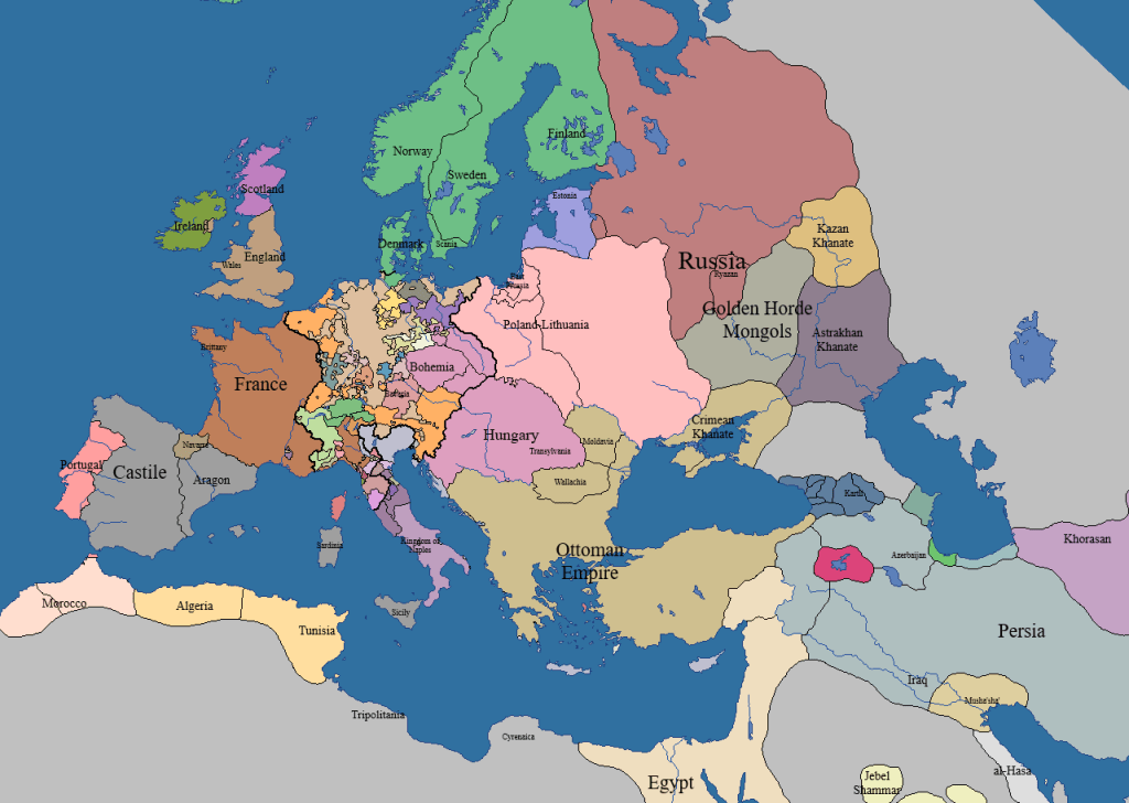
The website http://geacron.com, has maps from 3000 BCE to today. It covers the entire world but with less detail than Centennia. Here is Europe and adjacent areas in 1500 CE.


Leave a comment